FROM ALPORT TO BRADFORD DALE
We've missed a week again - PCs fault, or rather the boat's fault (long story) - and we seem to have missed the best of the weather. Last week it was glorious, this week considerably less so.
Undaunted by the heavy overnight rain, plummeting temperatures and brisk wind we nevertheless continue as planned and meet at Alport. Sadly we don't have Mollie with us this week as PC couldn't get Mollie's house door open (dodgy key), something that will have to be rectified.
There's ample room for us in the tiny car park and we spend a little time layering up. It really is that cold, so out come hats and gloves too. We also have a quick nip from one of the secret flasks (Ramblers Restorative - mmm). Once we're ready we head down the road to have a look at the river running under the road bridge. On our last visit the river was so high that the arch of the bridge was barely visible and the water had risen up the stonework, but now it is running smooth and clear, the water flowing freely under the arch and the stones of the riverbed stand out as though they are under glass.

 We cross over to the other side and set off down the path at the side of the telephone box. Looking back we have a perfect view of the bridge from this side, so PC fetches out her camera. A few paces further along and we are greeted by some brown fleeced sheep in the adjacent field, either very friendly or curious, so again it is time for a photo-stop. (I've tried really hard to find the breed - but do you know how many different breeds of sheep there are in the UK? And there doesn't seem to be a way of searching for a 'small brown sheep', so many apologies for lack of information, but if I manage to identify them at a later date, I'll add it.)(It could be a Balwen Welsh Mountain, or a Zwartbles.)
This path is wide and easy to walk. It follows the small river through fields which are, fortunately, free of livestock (cows). We pass the occasional dog walker then come to a very picturesque

stone bridge next to a high, overhanging wall of limestone rock, just below the village of Bradford. Beneath the rock is a conveniently placed bench, a perfect spot for anyone needing a rest of just wanting to sit and enjoy the view. But we press on, following the river towards Youlgreave.

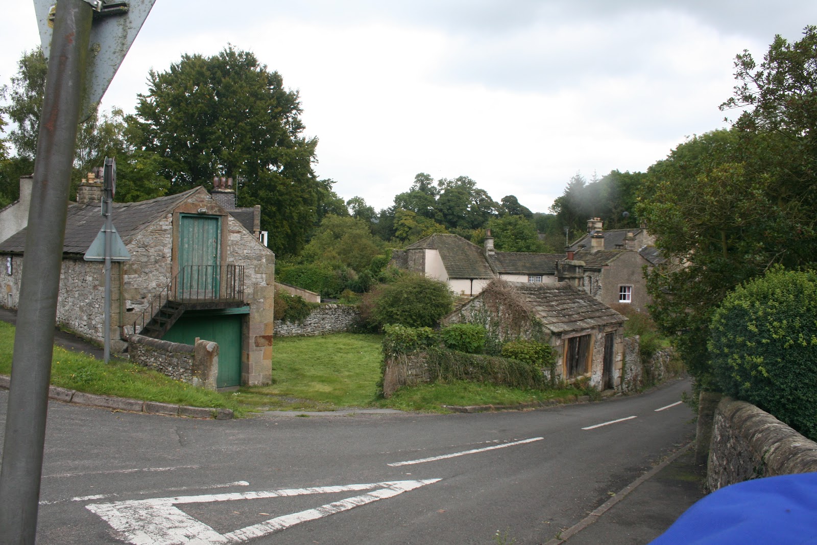
The path bends and brings us to a stile - bit of a squeeze with the added obstacle of a small gate too - next to a bridge. We're then out onto the road (it may be Mawstone Lane, or Hopping Lane, or something different!) to admire the bridge before crossing over and following the Limestone Way along the side of the River Bradford.


 Upstream there are a number of weirs and wide ponds, presumably for fishing, but today there are only birds fishing.
Because of the flat terrain we are able to walk a long way in a short time, and we soon reach another bridge crossing the river. Again we study the map, and although the path across is one of our options we decide that, for now, we'll carry on and hunt out somewhere for lunch. Naturally all the benches, of which there are so many downstream, have gone.

We reach a wide river crossing with an intriguing stone enclosure on the left. Naturally we explore but despite looking around we can't quite work out what it is supposed to be. There appears to be a number of 'rooms' or 'pens' and at the far side a stream of water runs into the enclosure then underneath it. We wonder if it is an old sheep-wash, or possibly the remains of an old mill (a mill for Middleton was mentioned in the Doomsday Book), but non the wiser we continue on our way. (Sorry, but again my research hasn't managed to come up with anything conclusive.)
At the far side of the river crossing we have an option; straight up along a very wide but gloomy path which we assumes climbs to Middleton village, or a narrower path running along the side of the water again. We choose the latter, and the path proves worthwhile. The river, narrower and less obvious, runs in a reed and weed bed which appears to be wide and marshy. A spring gurgles out from the rocks to our right and we soon reach a very rickety bridge over the small river.

We start off with a sample from PC's secret flask (cointreau) before settling down to our coffee, sandwiches and bun. The bun is PC's choice today and a concession to healthy eating; apple tarts with custard and fresh cream. Admittedly, there isn't a great deal of apple, but the custard and cream are suitably calorific.
Whilst enjoying our second coffee a damsel fly (or is it a dragon fly) hovers around then lands on PC's leg. Luckily it stays still for long enough to have its photograph taken before scooting off again.
 We pack up ready to set off back, but first amble down to the small bridge to have a look. Carved into it are words from a poem, and we puzzle over it for a while, struggling to make much sense of it. However, a bit of research has led me to this website: www.sitesofmeaning.org.uk which catalogues a number of boundary and marker stones erected as a Millennium Project throughout the Middleton and Smerrill area, detailing the inscriptions and giving some detail. This small bridge is 06: Clapper Bridge on the site's menu, and the whole site is worth looking at.
We retrace our steps and head back the way we came, negotiating the metal steps (spotting some fossils in the rock as we descend) and the rickety, narrow bridge. Eventually we reach the larger stone bridge over the river and discover another inscription, this time by Wordsworth. Again, have a look at the above site which gives details. The bridge is 03: Bradford Bridge. (Note how low the river is in the photographs.)
Crossing the bridge we climb upwards a little way then take a fork in the path, turning right so that we are once again walking along the side of the river. This bank is clearly not so frequently used but it provides a good contrast to our outward walk.
 There is a small clearing where a large tree has come down, only an upended stump and a few wayward branches remain, but the stump is cloaked in a massive growth of fungi. We clamber up the slope for a closer look and for PC to photograph it. There is more fungi growing nearby, it looks like a strange white goo but on closer inspection it resembles the curds of a cauliflower. Odd!
We continue and soon the path begins to ascend the slope towards Youlgreave. We've never been to this village before and as we emerge from the woods into the sunshine it looks at its most attractive. Even the allotments are neat and tidy.

This is a seriously bad idea, but we have reached the point of no return. Clearly this path is rarely used, despite the waymarkers, and we soon discover why. It is slippery, steep and loose underfoot. Negotiating it is hazardous, as PC finds out when she sits down involuntarily!
Eventually, though, we manage to zig-zag our way to the bottom and vow never to return even if the path at the riverside is flooded and we have to wade! Fortunately, that isn't put to the test, the path is not underwater but it is virtually non-existant and we push our way along until we reach safe ground again.
We're back on track now, retracing our outward journey along the first part of dale beneath Youlgreave where the hefty sheep are eyeing us suspiciously. At the end we cross the tarmac road, go through the narrow stile with the gate and take the path to the bridge next to the limestone rock and bench.
Here we cross the river and walk up the narrow, grassy lane. At the top we turn right onto a footpath which crosses some fields high above the river. We have some lovely views of the dale beneath us and the trees, some of which are just starting to take on their bright autumn colouring.
The last field we cross has three disinterested horses dozing in it then we're out onto the main road. It's only a short walk here down to the cars where we sit, minus hats and gloves, in the afternoon sunshine.

We keep our fingers crossed as we plan to see some more autumn colour on our next walk.