Stanage

Saturday, 9 March 2019

Snow and heavy mists at Chatsworth

Worried that we wouldn't be able to get out walking we planned to park in Baslow as a fail safe. So far so good. But crossing the river at the start of the walk PC's camera refused to work. As a lucky chance I had my camera so this time I'm doing the pictures. As such there will be few words!


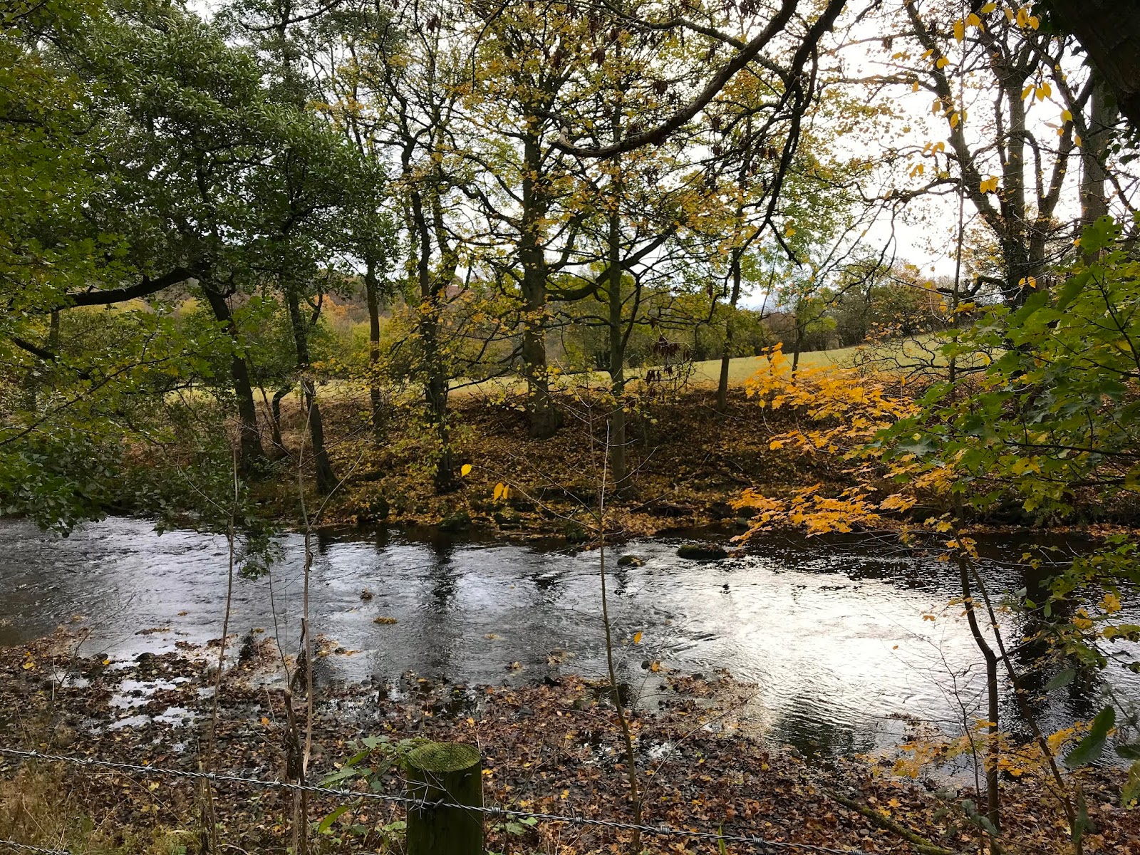
Crossing the bridge with the very chilly water running quite fast.


The park is looking bleak and the heavy mist is disguising the horizon. There are few people about, which isn's surprising.


A herd of deer in the distance are on the alert for us.


The sun is trying to break through making for an ethereal scene.


The heavy hoar frost weighs down the stems of the grasses making them look as though they have been laden with jewels.
 
A lonesome tree in the distance.     
 This is the way we have walked, the path behind lost in the mists.
 Our stopping point for lunch. One of the old structures that lead water down towards the fountains at the house. Today it is encrusted with icicles. A bench next to it provides a good eating spot, but it is very very cold.

Look at the length of the icicles.

And walking back to the cars we see a heron in a field. Wonder if it has managed to catch anything other than cold feet.


Tuesday, 26 February 2019

Castleton and Cavedale

We manage another dreary start for our walk today, hardly surprising given that it is winter and it has been raining. So the water running through the village is high and we are well wrapped up against the cold. We aren't expecting a spectacular walk, it is one we have done before, but it will still good to be out and about.

We park, as usual, on the road just past the entrance to the Peak Cavern where, on weekdays, the parking is free. We head off through the car park adjacent and at the far end we are in the village. Before walking through we are, as always, tempted to window shop in the small interesting shops tucked away in these quiet back lanes.

Next we go through the village centre and turn right between the two cottages to the start of Cavedale. As expected on such a grim day it is fairly quiet, and after so much rain, pretty wet. The views are familiar, but no less welcome for that.

Up the steeper stretch of the Dale is always interesting after rain given that you have to walk up the streams that flow down, and with slippery limestone underfoot it can catch out the unwary. But it isn't as bad today as we have seen it in the past, and the backward view is a good one of the Peveril's Castle.


Once through the gate at the top of the Dale the landscape opens out. The muddy path is slick underfoot and the wind is blowing in our faces. Also, a few drops of rain to add to the atmosphere.
The path eventually sweeps around to the left and heads for the gate onto the lanes at the top. We turn left and follow the wide track, probably used by farmers, quarry vehicles and some 4 x 4 enthusiasts. We meet none of them.

We find a wide turning circle/layby/quarry and decide to find somewhere to sit out of the wind and have lunch. It is a brisk affair given that the temperature seems to have dropped.
Suitably refreshed we head onward down the rubbly track. We get a wonderful close-up view of the cement works 😒 and continue down the now tarmac road. There is a shortcut path on our left, over a stone wall, but we have done it before and the final stretches are very steeply downhill through the slippery field. Given recent rain we decide to stick to the road.

It is pleasant enough to walk down and back to Castleton where we observe that there appears to be a very high number of Mini owners here. Perhaps Castleton will become the Mini capital of Derbyshire.

And, as usual, by the time we get to the cars it has started to rain. If anything, that is what defines Castleton for us.


Monday, 18 February 2019

Fabulous Palmiers to Diet for

Miserable weather but a glorious bun is how PC sums up this walk, and both statements are true. But it turned out to be a good walk anyway.

We were trying somewhere new again, always a bit of a risk when the nights draw in so fast, but we decided it was worth a shot. We parked up at Calver and headed towards Stoney Middleton on the pavement (which Mollie hates because of the lorries) then cross over the road to the broad foopath.

We have been on this path maybe a couple of times before in the past, but never on such a murky day. It isn't quite raining, but it isn't exactly dry either.

The path is a long one and tree-lined, with some interesting rocks and the closed-off entrance to a mine shaft or cave.


As the path ascends the trees are left behind and we come to a cross-roads of paths. We go left then almost immediately left again so that we are effectively retracing our steps but at a higher elevation and in fog. At least we can see where we are going though.

We climb over a broken section of wall (full of exciting fossils!) to find somewhere to sit and eat. Mollie waits patiently and hopes for more than biscuits.
Well, if the weather isn't going to be nice, the bun had better make up for it. Morrisons have started doing these wonderful giant palmiers full of fresh cream and jam. They are almost too big for one person, but we can't resist a challenge. And yes, we succeeded (but felt a bit full afterwards).

On our way again we come to the end of the path and turn left, following a track as it passes some trees and a couple of dwellings, then an old quarry.


Eventually we come out on a hillside up above Calver. Looks pretty grim, and the weather doesn't seem to have improved - in fact it has descended into the valley.

It is quite steep downhill, and a bit slippery on the wet grass, then there is a stone stile to negotiate which is next to the road, which is less than ideal with a dog that hates traffic. But we make it without incident. 
All in all it has been a good walk, and perhaps one to do again when the weather is a bit better.

Around Hathersage guided by Mollie

We have a vague plan for a walk and meet at the car park in the centre of Hathersage. It takes a while to sort out the parking, the option to pay by card is great....but the connection considerably less so, meaning digging out all our loose change.
We leave the cars and head out, turn left and down the hill under the railway bridge. Soon we turn onto a footpath on the left.

 The footpath takes us along a lane that is more of a driveway at the side of the river. We pass through a gate and pass a couple of farmers erecting some pens for sheep, then another gate takes us into the edge of the woodland.


We have a rough idea of where we are going, and know that the map isn't going to be a huge amount of help due to the myriad paths here.


We spot the uphill path we need and take it, stooping under a few low branches as we climb.


We follow on in what we hope is the right direction, and eventually cross over the railway line by a high bridge, feeling smug that we have succeeded this far.


We veer off to the right and make our way across rough grazing and through thin copses of trees, Padley chapel the next on our route.


We don't stop at the chapel this time, but continue on to the left hand path that leads up between the lovely houses here, then through the gate at the top into Padley Wood.

Here again we are into the 'vague idea' of where we are going. We walk uphill and find another path that doubles back on the one we are on, still climbing though. We take it and eventually reach a gate at the top. Once through we pause to get our bearings and Mollie is greeted enthusiastically by three children out with their parents for a walk. When they leave the refrain of "can we have a dog, please" continues until we are out of earshot.


The gate has brought us out onto the moor across from the Surprise View and Mother Cap in the distance. We turn left and skirt the woods to a wall then head towards the road.

Clambering over another stile we find a lovely sunny spot to have lunch where we can admire the view as a low flying plane crosses in front of us.


Despite the sun it isn't the warmest of days so we soon pack up and are on our way, making it up as we go along now. We know we are heading in roughly the right direction - sort of towards Hathersage again. The views are glorious and it is almost a shame to have to be walking back.

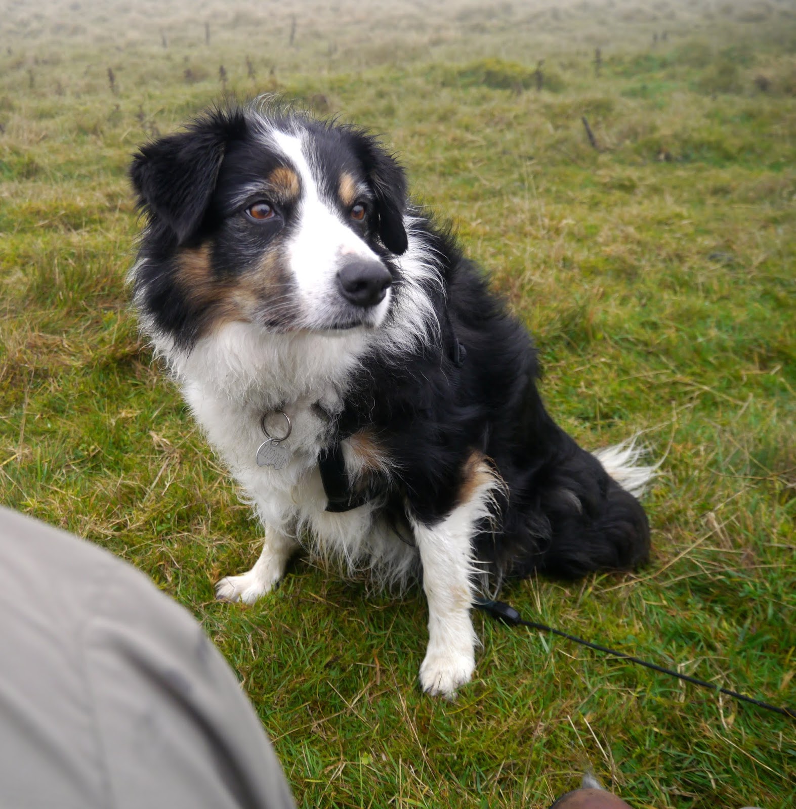
Yet again it is a mix of paths here, and as we seem to be approaching the road we veer left and Mollie takes over. Admittedly the map isn't a huge amount of use to us, though we know we aren't actually lost, but we carry on with Mollie trotting happily in front.

We pass some farm buildings, then as we start to go down the long drive Mollie pulls us onto a narrow muddy path away from the drive. Well, she is in charge. We follow her and the  steep path widens out into a broad swathe that takes us under the railway line.


Clearly the girl knows exactly where she is heading as trots happily in front, negotiating the criss-cross of paths in this part of the woods. And sure enough, we arrive back at the gate that we orginally came through into the woods in the first place. Mollie gets extra biscuits for being so smart, then it is a steady and short walk retracing our steps back to Hathersage. 

Thanks to Mollie, today's walk has been excellent.

Tuesday, 6 November 2018

THE RESERVOIRS AND ALPORT CASTLES

A bit of a trek this week because the road beyond Fairholmes is closed (with a big enough sign to see) so we can't do a 2 car walk (cuts out a good 2 or 3 miles of road walking) but we are psyched up for Alport Castles and nothing will stop us.


What is surprising - no, shocking - is the level of the reservoirs. We cannot recall ever seeing them so low with the Derwent branch of Ladybower reduced to a small meandering river. The muddy reservoir bottom is green with new growth. Worrying.


It's a lovely day so there are a lot of people about, but once we get past the dam we start to lose people. Soon it is, more or less, just us and a few lumber lorries.


Despite it being a bit of trudge along the road it is still lovely to be out, enjoying the views and catching up.


We are closing in to the western tip of Howden reservoir when a couple walking towards us announce that we can't carry on because the road is closed! Yes, we know, but we're going over the top we tell them. The couple carry on back along the road towards Fairholmes, clearly not interested in an alternative.

We check the lumber maps fastened to the gate just to make sure we will be away from the logging operations, then set off again off-road. The path up to Alport Castles starts off pretty steeply - time to remove a jacket or two.

We come out on the moors and the views are superb, and get better as we climb. We (or rather I) spend a bit of time getting overenthusiastic with the geology, but PC is hungry so we head on uphill. We don't like stopping to eat until the climb is over - it always seems harder walking uphill after lunch!

Then we make it, the superb views of the Castles in front of us. We settle down where the ground has conveniently slipped and made us a 'bench' and we enjoy lunch and coffee and wonderful chocolate cream scones (yes, sound awful, taste scrumptious) and an amazing view. A couple more walkers are about, but not enough to disturb the peace.


We spend a while here, it is worth staying as long as possible, then we set off again over the gently undulating hill top and heading back towards the reservoirs.


It is a long walk, but an easy one, and once we reach the Hollowford track we know we don't have far to go. 

Oft trod ground under our feet we take the familiar route alongside the woods then down the bridleway that brings us out next to the cattlegrid. Only a short amble at the side of the much diminished reservoir and we are back at the cars. A lot of others have gone but it is still a beautiful late afternoon, and the last before the clocks change. We are so pleased to have made the most of day.


Wednesday, 17 October 2018

GRINDSBROOK HORSESHOE IN REVERSE


We have always said we would never climb up Grindslow from Edale because it is so steep. We have always gone the other way which never seemed to be quite so intimidating.

But this time we decided to go for it, despite not having walked for ages. If we collapse en route we have only ourselves to blame.


Yes, steep and rocky, but what a revelation. Not only is it good to see the views that are usually behind us, but we did the ascent without any drama or problems whatsoever. Perhaps we are a lot fitter than we give ourselves credit for.

On the top it was blowing a hooley so we kept away from the edge as we skirted to the top of Grindsbrook. Our intention was to find somewhere for lunch, preferably out of the wind. A tall order.


Circuiting around the head of  Grindsbrook and looking down the valley is spectacular, and we managed to find a picnic spot for lunch, coffee and homemade apple cake. Does everyone have an absolute glut of apples this year?


Then it was the long but pleasant amble around the eastern side of the horseshoe.


The downward part always seems the worst wherever we are and this rubbly section needed care, but once past it was easy on the way after. Why did we think that going up the other way would be so difficult, it is certainly steeper than this bit but shorter so it is over and done with quicker.


We have taken our time, allowing ourselves to enjoy the views and catch-up on much gossip. But we have timed it perfectly, the clear day breaks into rain just as we are on the final stretch to the car park. A brilliant day out after too long away from the hills.