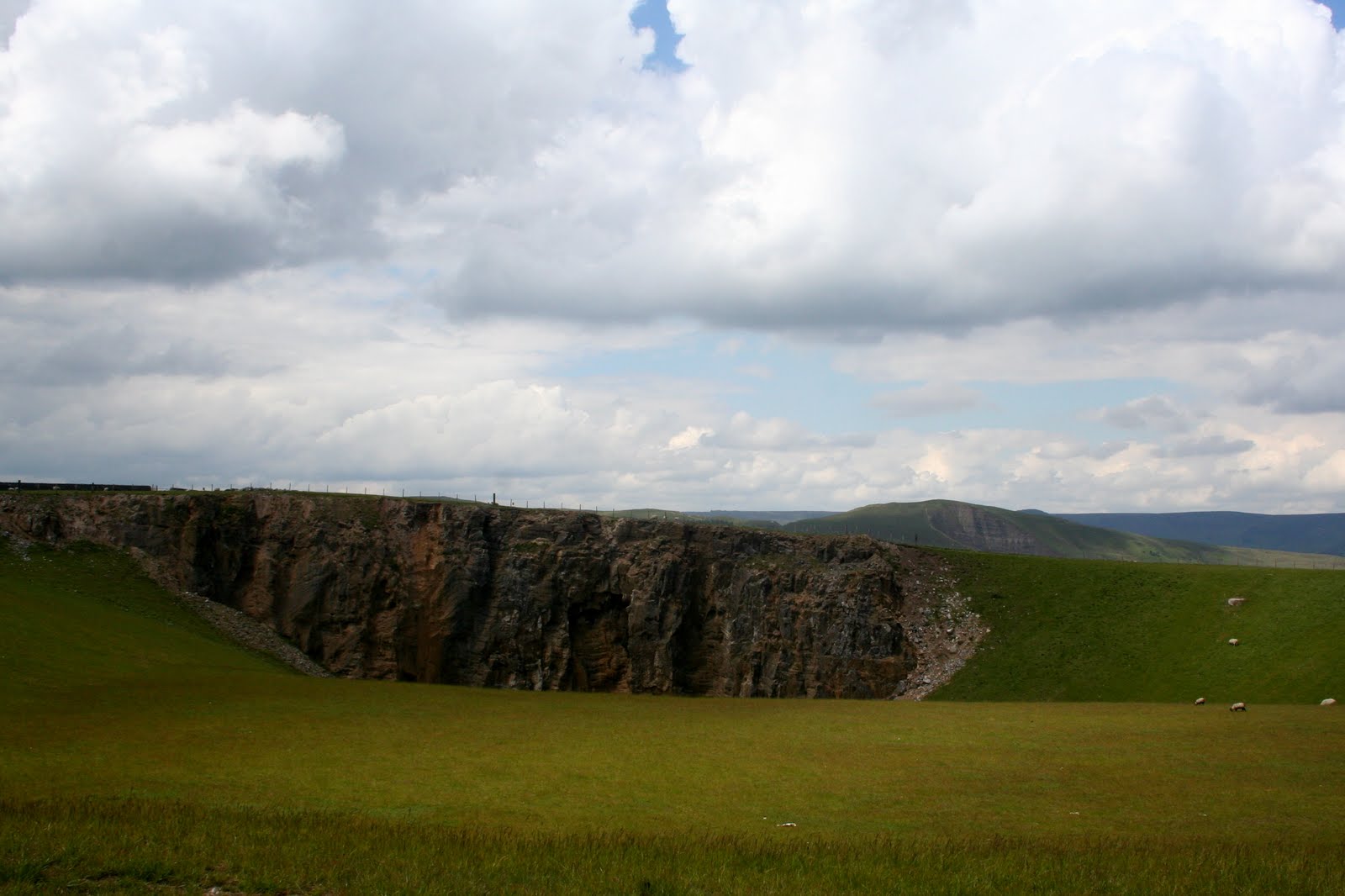
We have chosen Castleton with the vague hope that a late finish may enable us to see the Christmas lights, and also knowing we have plenty of choices for walking. We park up on the road close to bottom of Winnat's Pass (free parking except at weekends and bank holidays) and decide, since we don't have Mollie but we have had a lot of rain, that a road walk will be in order. Mollie's fear of traffic makes it hard to do roads with her, and although the prospect of treading the tarmac doesn't usually appeal, nor does slogging through rivulets of water or bogs.

So after our exchange of prezzies (not to be opened until Christmas Day) we don our waterproofs - just in case of rain but also to keep the biting wind at bay - over many layers of clothes then set off up the road.
Yes, it is easy walking but we are also lucky that it is quiet - not the tourist season any more and a bit late in the year for the hoards of schoolchildren on geography field trips. It means we have lots of time to talk - something we are very accomplished at!
 The road leads us past Treak Cliff Cavern and the disused Odin Mine then around the bulk known as Little Mam Tor. We ignore the turn off that we usually take across towards Hollins Cross and instead keep on the old road, now disused and broken up, courtesy of the unstable 'Shivering Mountain', Mam Tor.
The broken sections of road dip and twist but it is easy walking. Higher up there is a vehicle turning circle and a couple of benches. We decide to have a sit down, enjoy the view and have a sip from the secret flask (orange gin today) and share a box of Maltesers Well, it is almost Christmas.
 As we sit we are visited by a hopeful jackdaw so we reward his (or her) persistence with some pieces of bread from my lunchtime sandwich. Ever hopeful he waits around until we are ready to leave, and gobbles down a couple more chunks as a parting gift.
 The road makes easy walking past the Blue John Cavern then up to where it joins the main road. Here we decide to cross over the field at Windy Knoll then we do a quick right and left onto the track leading past Rowter Farm. We pass some walkers, only the second we have seen today and the last we will see until we get back, then find, to our surprise, snow. We knew there was snow on high ground during the very cold snap last week, but we weren't quite expecting to see any today. Admittedly there isn't a huge amount left, but sufficient to prove how cold it is. So here we are, above Castleton, and able to make the first snowball of the year.
We carry on along the track, and when we have a choice to drop down to Cave Dale we instead continue straight along towards Dirtlow Rake. On our left is a magnificent stretch of drystone wall currently under construction, and we pause to admire the wonderful workmanship. However, we also notice that, in the distance, the clouds are gathering so we press on.

As we approach the road that circuits the massive quarry - an offshot from Brough going through Smalldale to Pindale then Castleton - we see a stile on our left and, across a field, another stile in the fence line. There are no signs but, curiosity getting the better of us, we decide to see where they lead to and if there is anywhere to sit for a late lunch.
Over the first stile (a bit of a stretch) then up the field to the second we find we are entering access land, not marked on my current map, which covers a large area from here to Castleton. The views from the highpoint pole are superb and well worth seeing, even though a camera can never do the 360 degree panorama justice. We hike over to a broken drystone wall hoping for shelter from the wind for lunch, but the only suitable places have been overused by sheep so we hunt around for somewhere else.
Eventually we are comfortably sat in a deep hollow with a cup of scalding hot coffee to keep us warm. Sandwiches are eaten then we have spiced apple and fresh cream muffins - the most Christmassy bun I could find this morning. They go down extremely well, followed by more coffee which helps to keep the dropping temperature at bay.
By now the clouds are really massing and we decide to continue ahead to meet the path at the head of Cave Dale rather than returning to our original route through Pin Dale.
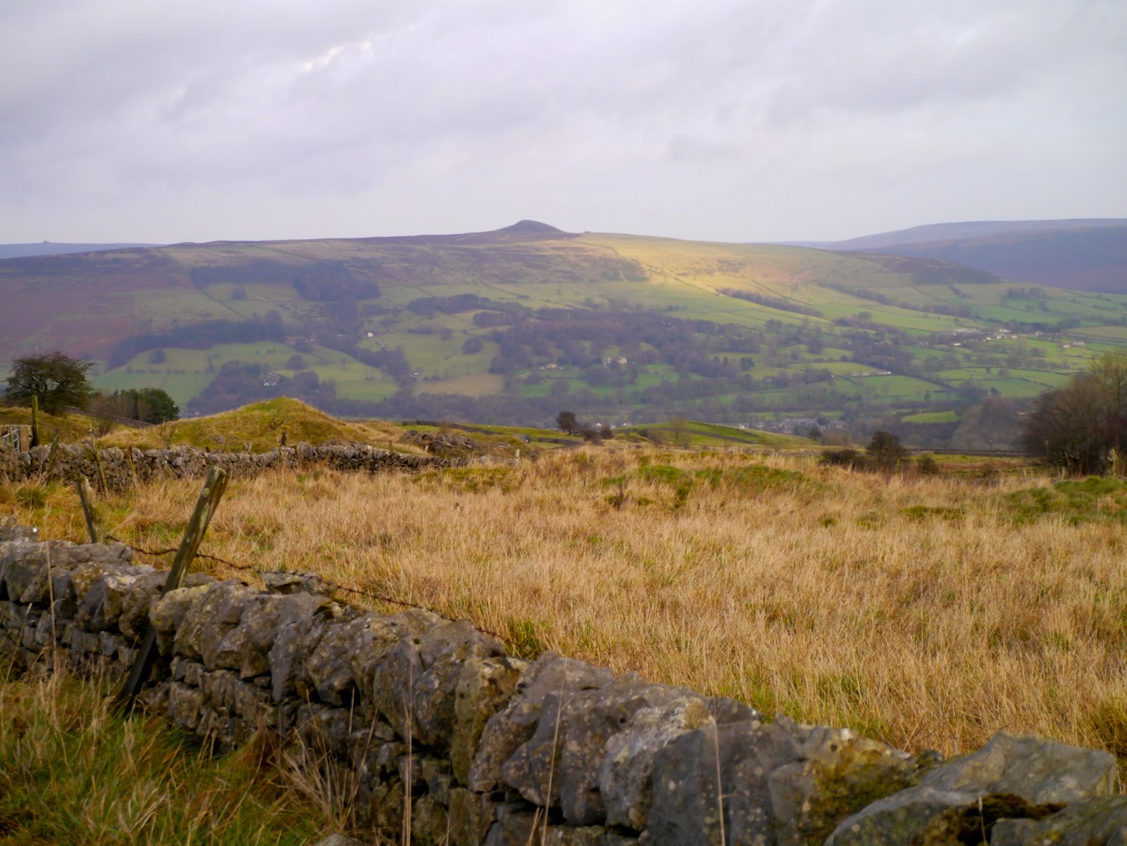
We follow a little-used vehicle track and then find a grassy slope that takes us easily onto the Cave Dale path. Then we come to a small junction with Cave Dale ahead and an upward sloping path onto access land to our left. In a spirit of adventure, and knowing how slippery the decent into Cave Dale can be in wet weather, we choose the path onto access land.
Then it starts to hail.

Fortunately the hail doesn't last too long and we are out on the expanse of land at Cow Low. There is a footpath here, crossing the moorland straight to Castleton, but there is no clear sign of it on the ground so we start to make it up as we go along. By now the hail has turned to rain and we are careful of where we are walking.
Eventually we find the straight track that appears to point directly to Peveril Castle, although it is hard to tell since the rain has turned to freezing cold sleet and it is coming at us almost horizontally. This part of the walk is grim, and we are extremely glad of our waterproofs.
When the castle looms at us from the murk we hunt around for the next path which is not particularly clear in the conditions. But find it we do, an almost 180 degree turn and going steadily downhill. The sleet has slowed to heavy rain now so we are careful not to slip (we do have a couple of 'Dancing on Ice' moments) and by the time we reach the bottom of the slope the rain has stopped and there is even some blue sky!
We take the muddy path next to the wall in the direction of Castleton and soon we are through a gate and into the village, looking rather muddy around the edges - so much for it being a road walk!
As we wander back through the village we browse in a few of the shops - Blue John is so pretty - and take time to look at the lights which, to be honest, are a bit of a let down. There are Christmas trees outside some of the shops with bright lights on them, but no central tree nor any other trimmings. A sign of austerity we suppose, not many places seem able or willing to provide the kind of Christmas show we remember from our childhoods.

Now all we have to do is walk the short stretch back to the car. It is dark now, both with the encroaching nightfall in the shortened day and because the rain clouds are back. We barely have time to divest ourselves of our outdoor gear, say our goodbyes and jump into the cars before the deluge starts again.
So that is it until next year.
We send everyone our Best Wishes for a Very Happy Christmas.