Stanage

Friday, 10 April 2015

ABANDON HOPE AND ENTER CAVEDALE

The best laid plans have been thwarted again and our promised hike from Hope up Win Hill has had to be postponed. This time, gales, heavy rain, sleet, hail - the works! A power cut where I live means no hot water and, worse still, no coffee. Fortunately a quick text to PC resolves this and she gamely brings along coffee as well as bun, and we also rearrange our walk; we don't want to be on high ground in these winds.

So, with Hope abandoned we decide to meet in Castleton instead and are surprised, given the weather, how busy it is. Already there are groups of bedraggled schoolchildren/Duke of Edinburgh walkers out, along with the Easter holiday-makers. 

As usual we park up on the road just past the Peak Cavern, drag on all our waterproof gear, then set off down the road heading towards Cavedale. 

As soon as we turn up between the houses to the dale entrance we have a taste of what is to come. The tiny lane is awash and the wind is funnelling down strongly. We push on through the gate and start our upward paddle, leaning against the wind. Strangely enough, the photos do not show how wet it really is!


We pause beneath the castle as a group of youngsters ahead of us stop, seemingly lost. Their discussion lasts a while before they set off again, on the only path ahead!


When we reach the spot where the group had been we realise why they had paused. It feels as though all the four winds have congregated in this one spot and it is extremely difficult to move forward. No wonder they were debating whether to go on or not. For us, though, there is no dilemma. We have every intention of forging ahead. I promise PC (without anything to back up my assertions, naturally) that further up the valley the wind will be less forceful. 

As we fight our way upwards against the wind and through a wide stream-bed there is a brief glimmer of sunshine. PC captures it perfectly. It makes the whole landscape look benign and pleasant.


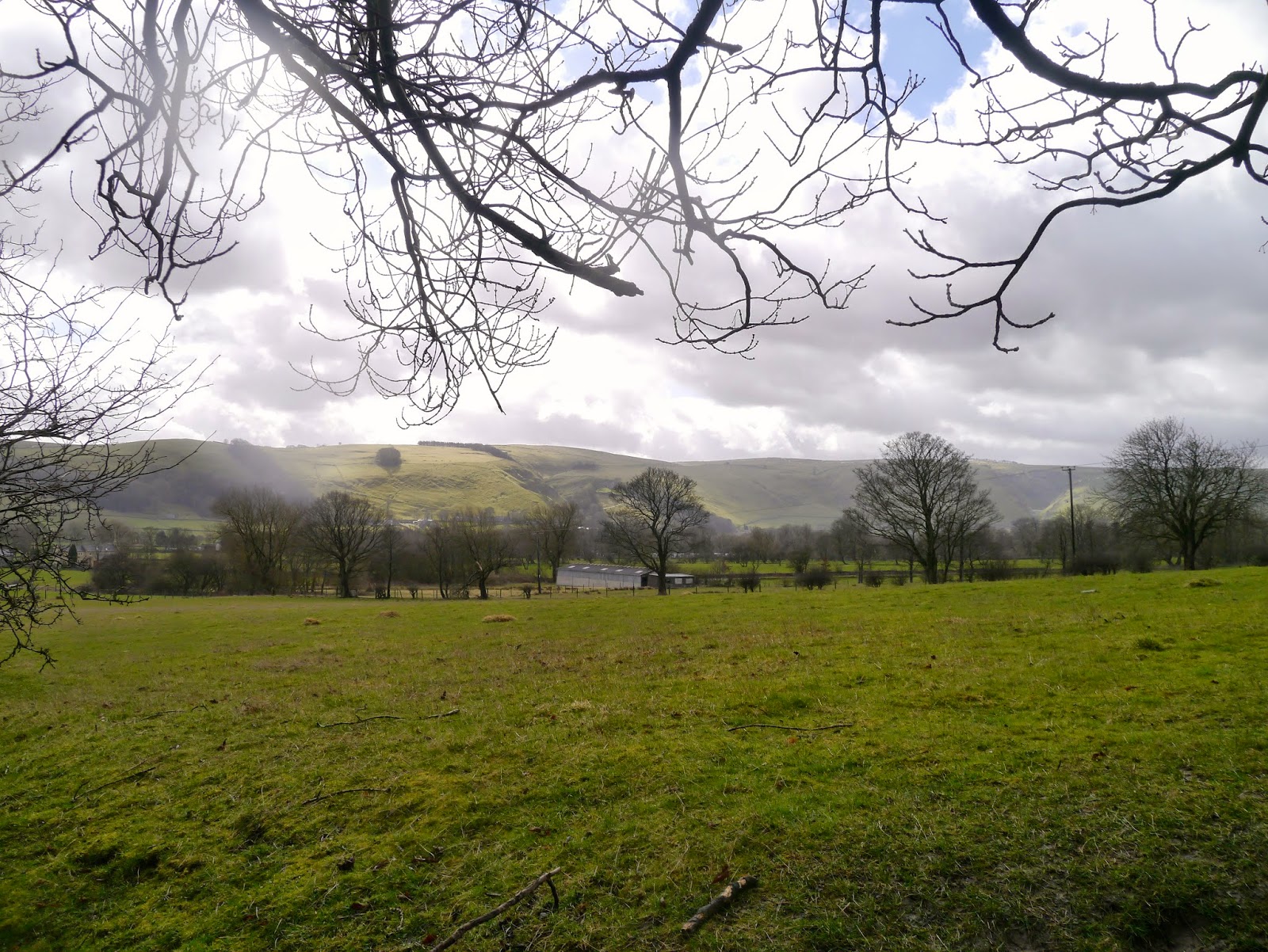
 So, just to put the record straight, and get rid of the idea that maybe we were just making it up about the weather, I have added one of my own photos (from my phone) below. Yes, the river is the footpath!


As we climb up Cavedale against the tide (it certainly feels that way) the wind does actually lessen although there seems to be more and more water. It cascades over the limestone in a manner that would undoubtedly have made Capability Brown jealous, although he would probably have made the path around it rather than through it.

Eventually we make it through the gate at the top, relieved to have made it over the worst of the river-cum-path. A natural spring is gushing from the woods a little lower down on our left and beyond it is relatively dry (relative to the downpour and soggy ground). We pause to admire the view, have a nip from the secret flask as a reward, then press onwards.

It is nearing lunchtime so we decide to find somewhere sheltered to have food. It isn't easy, but eventually we managed to huddle up behind some rocks that give us sufficient protection from the wind. We are very close to the path, sadly, but that can't be helped. 

My first hot drink of the day (thank you, PC) goes down extremely well, then we follow with sandwiches and, joy of joys, yummy buns and a drink (it's my birthday walk, and PC is treating me!). The buns are fantastic, fat choux buns with fresh cream and sticky chocolate icing on top. And the drink is fizz. Bliss.
A surprising number of walkers come past us, most just say a quick hello, but one couple have no idea where they are or where they are going. The have come up from Castleton, they tell us (no, really!) but wonder where the path leads and if they can get back to Castleton, and how far, and where do they go, and how far have they come and how long will it take.........the questions go on. They have no map, no food, nothing to drink (they tell us with a kind of misplaced pride) and are hoping we will provide directions and instructions. We do the best we can and send them on their way whilst refraining from telling them to be better prepared next time.

The wind is still keen but the rain has stopped by the time we have finished lunch, so we carry on up the valley along the gentler, wide path. It is quite muddy in places and when we come to one of the gates we are in for a paddle. Mollie is the only one who is happy about it.
We continue ahead, avoiding the mud, then veering to the left where the wide swathe of the path climbs up. It is well walked (this is the Limestone Way, after all) but still grassy. As we reach the top of the rise the wind hits us again with renewed force. We are walking into it and feel as though we are pushing against treacle.

Through the gate and we turn right, then right again heading towards Winnat's Pass. The group of hikers we had remarked on earlier (and seen a couple more times) are at a standstill again close to Rowter Farm. It looks as though this time we might be in danger of catching up with them, but they set off again.

However, a few hundred yards later and they are, once more at a standstill. This time we do catch up and overtake them; a group of older teens debating their route. However, there isn't much choice, other than straight ahead.

They follow us to the end of the lane and as we open the gate to get onto the road they decide to take the stile. Seems a waste of energy, especially since they appear to need to stop every few hundred yards or so.

We turn right and head for Winnat's Pass, the group disappear to who-knows-where. The wind is behind us now but at least the rain has stopped.


It is a familiar walk down the winding Pass, and we keep to the left hand side where there is a path behind a wall. Slippery in places over the worn limestone it is important to be cautious.

Once through the gate at the bottom and onto the wide verge running alongside the road we realise that this might be the hardest part of the walk. The whole verge is a sodden mass with running water and slippery mud. PC has her walking poles which she needs to keep herself upright, and I eventually step onto the road with Mollie as it seems the safer option.
With the wind behind me I find myself being pushing into a jog, PC is quite surprised as I pass her but anything we might say to each other is whipped away by the gale.

Eventually I make it back onto the verge, steady myself against the wind which is pushing like crowd of schoolchildren trying to get onto the bus home. When PC catches up we round a small outcrop in the hope that it will protect us. It affords little help, and there is even more water here.

And then it happens: my turn to bite the dust - or rather, the mud and slush. A combination of wind, mud and rain has me on the skating rink to nowhere. I'm not hurt, fortunately, but it is a struggle to get enough purchase to stand up again, even with PC's help. 

No harm done, so we continue carefully down the slope towards the Speedwell Cavern car park. From here there is a pavement to lead us safely back to the cars. However, looking over our shoulders we see a storm coming, and our final stroll becomes a rush to get back before it reaches us. 

Hail and sleet, driven by the battering gale, hits just as we are getting into the cars. Within a couple of minutes the windscreen is white rimmed and visibility is down to a couple of hundred yards. It would be safe to say that we have made it back in the nick of time.

Saturday, 4 April 2015

HOPE TO CASTLETON - VIA STONEHENGE!

So we have managed it again; the worst possible day sandwiched between two glorious walking days. Rain, heavy cloud, wind and snow on the hills greets us as we park up in Hope and rapidly adjust our plans for the day.

Instead of heading up the Edale valley and onto the Win Hill ridge we choose instead to take a circuit along Hope Valley towards Castleton. Suitably dressed for the conditions (full waterproof gear, gloves and hats) we take the road at the side of the church, wary of the heavy lorries that thunder down this narrow road on their way to the cement works.

There is a footbridge over the river here which keeps us off the road, and we pass the old Pinfold on our right. A short climb up the road and we spy the footpath sign on the opposite side of the road. Across we go just as another huge lorry lumbers down the hill. We are glad to be out of the way.

The path is clear here, and fenced off from the adjacent fields, which means that we can let Mollie have a short stretch off the lead. She immediately picks up a stick (log!) and tries to persuade us to play with her. Nope, not going to happen. We are following the small, fast flowing river (is it big enough to be a river?) called Peakshole Water as we make our way towards the railway line.


Both PC and I are certain we have walked this way before, but neither of us can remember crossing the railway! Clearly our memories are playing tricks on us; either we have never walked here before, or we have forgotten a major part of the walk. (And looking back at the blog list I can't find it! Maybe we only thought we walked here.)

We reach the crossing, descend a few steps and, seeing that the amber lights are not flashing, proceed to cross. A couple are stood at the side of the line, waiting, and remark that they thought a train was coming. If they had read the sign (amber flashing lights mean a train is approaching, no lights = no train) they would have been well on their way but instead they stand there, slightly confused. They may be in for a long wait.

The next part of the walk crosses sheep fields, some of which have recently been spread with muck. They are fragrant, to say the least, but at least the footpath area is relatively clear. There are also a fair number of stiles on this stretch, either awkwardly high ones that require a fair amount of agility (which, sad to say, Mollie does not seem to possess in abundance), or narrow ones that necessitate great sucking-in of stomachs! 

It is not an unpleasant stroll, though, providing you discount the rain, and we are soon on the edge of Castleton. The path becomes a little muddier, then skirts a farmyard before emerging onto the road. Here we turn right, and a little way along cross over to the take the footpath heading straight towards Losehill Hall.

As we walk up the path PC notices something in the adjacent field, partly screened by trees and a high drystone wall. It is a replica of Stonehenge - along with a roundhouse. Bemused to find this in the middle of Derbyshire we nevertheless admire it. PC attempts to find a good spot to take photographs then, as she wonders aloud how on earth Losehill Hall managed to get this construction past the Health and Safety police, a sudden gust of wind sends one of the massive 'stones' rolling through the site like tumbleweed. We have our answer. Polystyrene - or something similar. Well, we were fooled! Though it was certainly very well done, painted to look like real, rough-hewn stone and undoubtedly great fun for those staying at the Hall.


At the top of the track we turn right and keep going until we come to Spring House Farm. Here we do a left turn, then right onto the footpath behind the stables. Mmm, this is clearly the bad part of the walk; boggy, muddy and deep puddles. We squelch and paddle our way though, watched by ponies in the next field, then once out of the mire we cross through the hedge line to see a sign telling us to take the path on the drier side of the hedge! Wish we had known that at the other end.


From here we are crossing grassy fields that, in places, are quite slippery, though none as wet as before. And, as luck would have it, the rain has stopped and the sun is even trying to shine. Behind us the views are lovely, and in front of us lies Hope. Unfortunately, though, we are unable to find somewhere suitable to have our lunch, which is long overdue and we are already feeling very hungry.


We come to a choice of two paths, and although they both seem to lead to the same place (they do!) we decide to follow the one with the yellow footpath arrow on it. PC goes first, and as I try to persuade Mollie to go through the kissing gate I hear PC make a soft exclamation and look up to see her on the floor. She says it was a graceful slide down rather than a fall, and I believe her. She is rather muddy though.


As soon as we are across the field and through the exit we realise we could have avoided the slippery patch - ah well, live and learn. We are close to the outskirts of Hope now, and there are small groups of teenagers walking past - probably Duke of Edinburgh students (Who else would be out walking on a day like this? asks PC. Er, us, actually.)


We come to a bridge over the railway, it dips ominously in the middle although it must have been constructed that way, but the sign saying no more than 20 people on the bridge at once makes us pause to wonder. 

At the far side the next stile is a broken, ramshackle and quite dangerous affair with a deep, steep sided muddy puddle at the far side. From here, though, it is a fairly easy walk crossing numerous small fields, into Hope. 

We come out adjacent to the school, make our way to the Edale Road then it is a short walk back to the cars.

It is late for lunch, but we have no intention of missing it. Once divested of our muddy outerwear we settle down in the car to superb coffee, sandwiches and fresh cream eclairs. It all tastes wonderful, probably because we have worked up such an appetite. 

By the time we are ready to leave the sun is out and the last vestiges of snow have melted. We are hoping to meet here again next week to do the walk we originally intended. Fingers crossed.